
Outputs
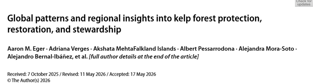
The SeaForest Project team was pleased to contribute to this highly collaborative global study, which investigates patterns of kelp forest protection, restoration, and stewardship across 35 regions worldwide. The paper provides valuable insights into the opportunities and challenges facing kelp forest conservation and highlights pathways for strengthening stewardship efforts at local, regional, and global scales.
Eger, A.M., Verges, A., MehtaFalkland Islands, A. et al. Global patterns and regional insights into kelp forest protection, restoration, and stewardship. J Appl Phycol (2026). https://doi.org/10.1007/s10811-026-03917-6
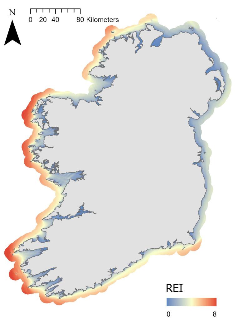
High-resolution relative exposure index for the coastline of Ireland
This dataset provides a high-resolution relative exposure index (REI) for the coastline of Ireland and Northern Ireland. The REI is calculated on a 50-m point grid resolution from the shoreline to 10 km offshore using effective fetch, wind direction, and wind speed. The data set is available to download here!
Ryder Finn, Twigg Isla, Davies Ryan, Power Anne Marie (2026). High-resolution relative exposure index for the coastline of Ireland. SEANOE. https://doi.org/10.17882/109463